5 go mad in Englandland
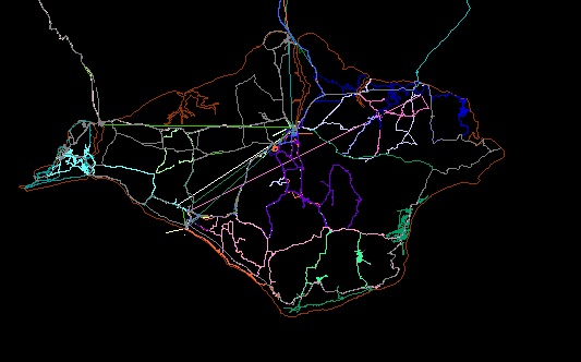
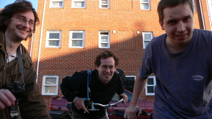
Actually 30 of us, in the Isle of Wight, open street mapping. Great fun, with ginger beer, cakes, bacon and eggs, actual beer, bikes, cars, feet and lots and lots of gps devices and cameras. An interim version of the map is on the workshop site, and here's a quick screenshot - lots more was done today - this is just the version from yesterday with mine and Damian's track on it from today as well.
Lots of interesting metadata capture problems too but I'm too tired from sitting in a car for 3 days to blog about them right now (and I know that's a rubbish excuse...some people were cycling 50 miles a day or walking 20 miles, or concentrating on driving even - thanks Damian! - all I did was take pictures of road signs and work the gps. But hey, sitting around taking photos is hard work y'know, oh yeah...).
More photos are on my site (friday, saturday and sunday) and a selected few on flickr. Thanks to all the organisers, especially David and Simon. Hope we can do it again somewhere - and I'm inspired to help Lawrence with Bristol too.